Main Page
________
Severe Outlook
Watches/Warnings
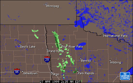
Radar Images
Satellite Images________
Explanations:
Nexrad:
Most updated and accurate radar measuring intensity
of event.
Nexrad2:
Indicates possible rotation in storm cells.
(Intellicast only)
Radar:
Good for type of precipitation falling.
Radar Loop:
Animates precipitation over multiple hours.
Radar Summary:
For determining cloud top highs, direction of cell
movement/speed and severe events like hail/meso behavior.
Precipitation:
Details on estimated 24 hour precipitation in area.
Other Radar Images:
E.C
Ontario Radar (1 Hour Delay)
Sault
Ste. Marie/Elliot Lake/west half of Manitoulin Island
Waters
near Wawa Nexrad
|
|
Real-time radar and nexrad images that cover Southern
Ontario are important to finding out what type of weather is coming and when. I have tried
to organize them by city. If you want some info
on how these images should be read, click
here. As most sites are in the U.S., the
names are from there but cover S. Ontario.
IN = Intellicast AC = Accuweather WC = Weather Channel
Windsor
, Chatham , London , Goderich , Kincardine |
|
|
London
, Stratford , Barrie , Toronto , Belleville , Niagara Falls |
|
|