Aviation - Plots |
||
|
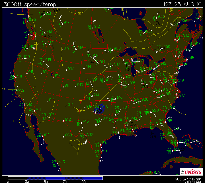
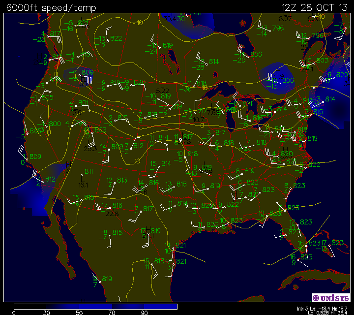
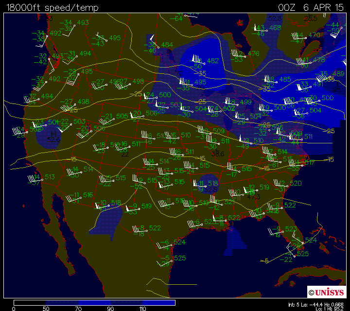
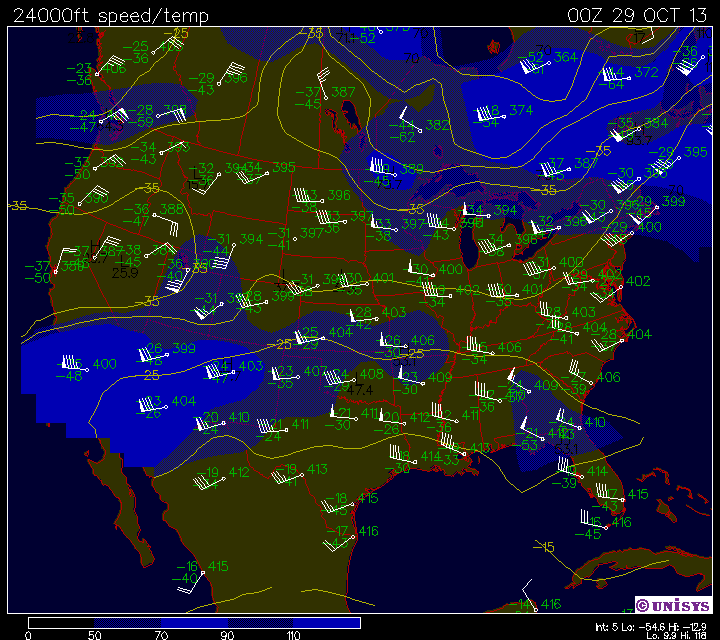
These are some aviation plots at various levels of the atmosphere. Mandatory Level Composite Plots 850 mb Map Constant Height Plots3000 ft Map 6 Panel Plots for a particular plot type (12hr increments)6 Panel
SLPressure/Precipitation Forecast Animated Aviation Plots: Animated GIFs of aviation data every 6 hoursSLPressure/Precipitation
Movie
|
|
Copyright 1997,1998,1999: The Ontario Weather Page |