Aviation - Unisys Model |
||||||||||||||||||||||||||||||||||||||||||||||||||||||||||||||||||||||||||
|
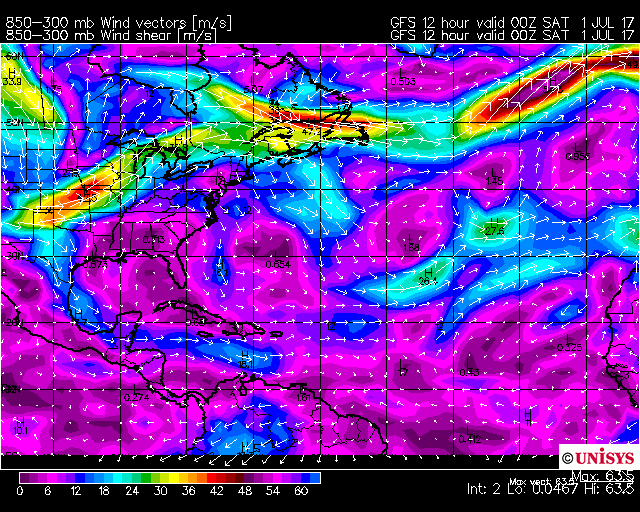
This is the Aviation model developed by Unisys. One of
the better ones I have found. Unisys Model Outputs
|
|||||||||||||||||||||||||||||||||||||||||||||||||||||||||||||||||||||||||
Copyright 1997,1998,1999: The Ontario Weather Page |
Aviation - Unisys Model |
||||||||||||||||||||||||||||||||||||||||||||||||||||||||||||||||||||||||||
|
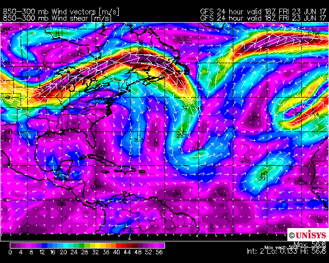
This is the Aviation model developed by Unisys. One of
the better ones I have found. Unisys Model Outputs
|
|||||||||||||||||||||||||||||||||||||||||||||||||||||||||||||||||||||||||
Copyright 1997,1998,1999: The Ontario Weather Page |