THE ONTARIO WEATHER PAGE

Over 5515075 pages visited

10:06

3:06:54 AM

4:06:54 AM

5:06:54 AM

6:06:54 AM

7:06:54 AM

7:36:54 AM


Weather Outlook
Watches/Warnings
Radar/Satellite Pics
Current Conditions
Lightning Images


City Forecasts
County Forecasts
Regional Forecasts
International


Winter
Summer
Sunrise/Sunset
Soundings
Archives
Models


Aviation
--Analysis & FD's
--Pireps/Metars
--Area Forecasts
--Route Info
--Plots
Agriculture
Construction
Marine


Bugs/Pollen
Air Quality
Forest Fire
Hurricane
Safety


Road Conditions
Flu Reports
Airport Delays
School Closings
Snowmobile
Skiing
Safety


Storm Chasing
Reporting Database
Tornado Database
Photo Gallery
Learning Center


Personal
Contact Me
OWP Privacy Info


Aviation Surface and Analysis

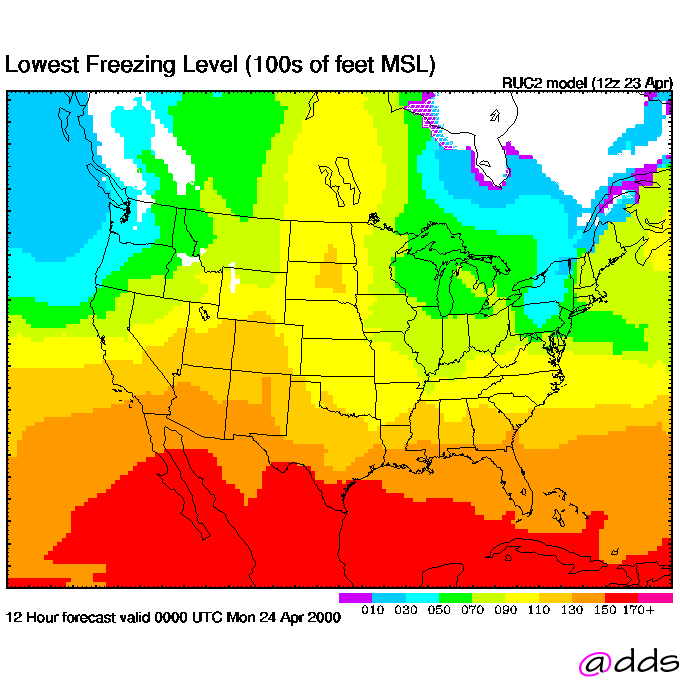
This page provides surface and upper air analysis and  textual and chart FDs for Ontario. In addition, links to Manab, radar images and Soundings is also provided. For cloud and aviation models, please go to the models section in the analysis section of the site.

Quick Aviation Information

Today's Jet Stream Tomorrow's Jet Stream
Altimeter (in) Sustained Winds (Knots)
Visibility (Miles) Peak Winds (Knots)
Obstructions to Visibility Ceiling (Feet)

Surface

00Z 06Z 12Z 18Z

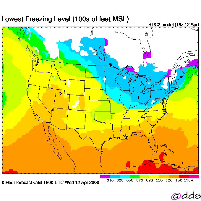
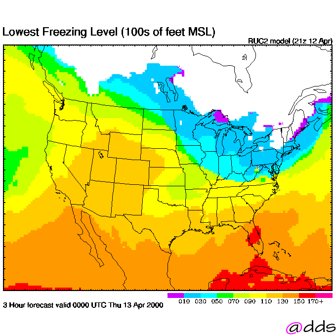
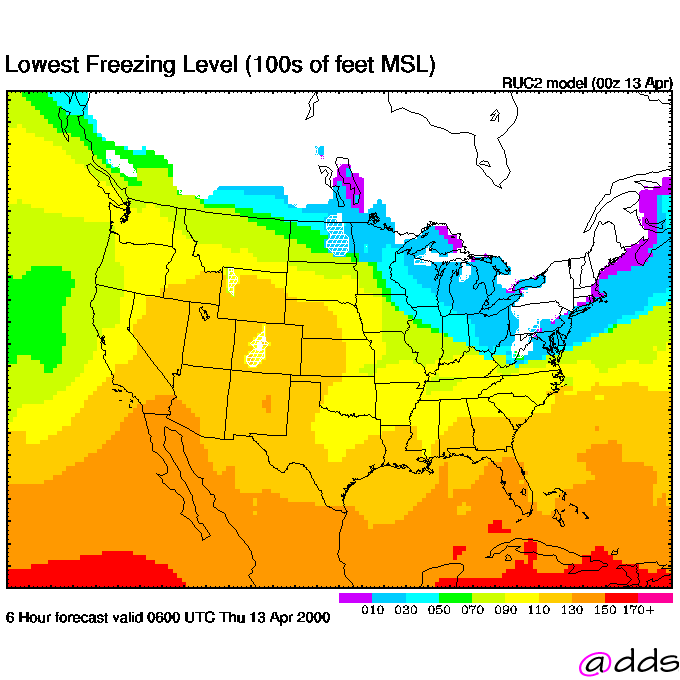
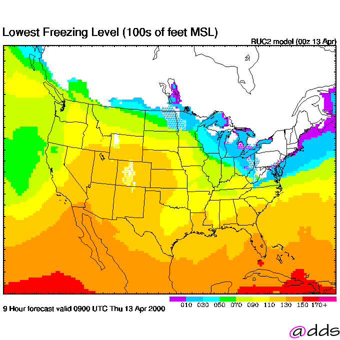
Freezing Levels

Upper Air

850mb 00Z 12Z
700mb 00Z 12Z
500mb 00Z 12Z
250mb 00Z 12Z

FD's

18000 and lower
24000 and higher

Height(ft) 3000 6000 9000 12000 18000 24000 34000
Time 00Z 00Z 00Z 00Z 00Z 00Z 00Z
06Z 06Z 06Z 06Z 06Z 06Z 06Z
12Z 12Z 12Z 12Z 12Z 12Z 12Z
18Z 18Z 18Z 18Z 18Z 18Z 18Z

Page URL: https://www.ontarioweather.com/industry/avnanalysis.asp
Last Updated: 02/18/00 09:16 AM

© 1997-2000 The Ontario Weather Page